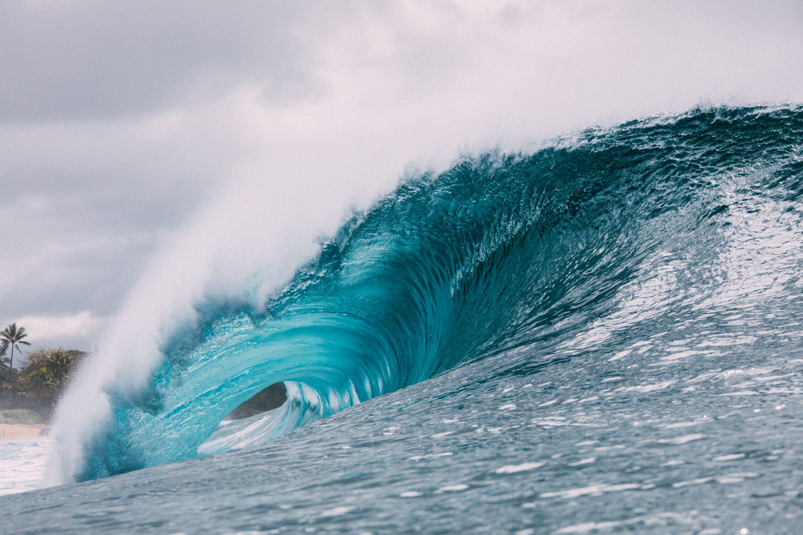
At 5:36 p.m., on 27 March 1964, without warning, the largest recorded earthquake in U.S. history, and the second largest in world history, occurred in Alaska’s Prince William Sound. The 9.2-magnitude earthquake and tsunamis that followed significantly damaged or destroyed Valdez, Anchorage, and many villages along the Alaska Coast. More than 130 people died in Alaska, Oregon, and California. Damage from the tsunamis alone, which also affected the west coasts of the United States and Canada as well as Hawaii, was estimated at almost $1 billion (2013 dollars).
This year marks the 50th anniversary of the Great Alaska Earthquake and Tsunamis and the 10th anniversary of the 26 December 2004 Indian Ocean Tsunami. In addition, the 11 March 2011 tsunami in Honshu, Japan, is still in the news. These events are reminders of how important it is to understand that tsunamis have affected U.S. coasts in the past, and they will again in the future.
Advancements in U.S. Tsunami Preparedness Since 1964
Coastal populations and infrastructure have increased significantly since the 1964 event. However, in that time, the nation has made substantial advancements in earthquake science (led by the U.S. Geological Survey) and in the ability to detect, forecast, warn of, and prepare for tsunamis. Today, the National Oceanic and Atmospheric Administration (NOAA) leads the U.S. Tsunami Warning System, which includes:
- Operating Two 24/7 Tsunami Warning Centers – As a result of the 1964 event, the U.S. Coast and Geodetic Survey, now part of NOAA, established what is now the National Tsunami Warning Center. Together with the Pacific Tsunami Warning Center, established following a 1946 tsunami in Hawaii, the centers provide warning coverage to all U.S. states and territories. When they detect a tsunami threat, the centers, which are now operated by the NOAA/National Weather Service, issue tsunami alerts over an advanced telecommunications infrastructure.
- Managing a Network of Tide Gauges and Tsunami Buoys – A network of tsunami buoys in the Pacific and Atlantic Oceans and the Caribbean Sea, as well as sea-level gauges managed by NOAA, allow for real-time tsunami detection, which enhances forecasting and warning capabilities.
- Leading the National Tsunami Hazard Mitigation Program – In 1995, Congress formed the National Tsunami Hazard Mitigation Program (NTHMP) – a partnership of federal, state, and territorial agencies led by NOAA – to mitigate the impact of tsunamis through public education, community response planning, and accurate hazard assessment.
- Developing Tsunami Models – NOAA and its partners have developed tsunami inundation and forecast modeling capabilities that help the warning centers forecast tsunamis and have enabled the creation of inundation and evacuation maps to support planning for and responding to tsunamis in high-risk communities. Through the NTHMP, tsunami evacuation maps are available for all populated U.S. Pacific coastlines.
- Administering the TsunamiReady Program – Launched in 2001 by NOAA, the TsunamiReady program helps communities prepare for tsunamis through better planning, education, and awareness. As of 25 February 2014, there are 162 TsunamiReady sites – including 18 along the Atlantic Ocean and 43 in Puerto Rico.
Tsunami Preparedness & Exercises
To boost tsunami preparedness efforts in the United States, NOAA, the Federal Emergency Management Agency (FEMA), and the U.S. Geological Survey, in coordination with the NTHMP, are promoting and supporting Tsunami Preparedness Week, March 23-29. During this week, NOAA and its partners will promote tsunami awareness and safety, and urge coastal residents and visitors to prepare themselves and their families for a tsunami.
To assess tsunami preparedness, a number of exercises are planned during the week, including Alaska Shield 2014, an exercise based on the 1964 event, which is being led by the Alaska Division of Homeland Security and Emergency Management with substantial modeling and warning support from NOAA. Recognizing the significance of the event and the importance of the exercise, FEMA has incorporated Alaska Shield 2014 into its Capstone Exercise 2014 – a complex, national-level emergency preparedness exercise required by law that will bring together federal, state, local, tribal, and private sector representatives to assess the nation’s collective preparedness for large-scale disasters.
In addition, the NOAA/National Weather Service will lead three tsunami exercises: CARIBE WAVE/LANTEX14 (Caribbean/Northwestern Atlantic), LANTEX14 (Gulf of Mexico), and PACIFEX14 (Pacific Coast). The purpose of these exercises is to improve the effectiveness of the tsunami warning system. They also provide an opportunity for emergency management organizations to test operational lines of communications, review response procedures, and promote preparedness. Emergency management organizations may participate at varying levels, ranging from drills to full-scale exercises. As emergency managers well know, regular exercising of response plans is a critical preparedness activity.
Learn More About Tsunamis
A tsunami could strike the U.S. coastline at any time. Although prevention of a tsunami is not possible, community preparedness, timely warnings, and effective response can mitigate adverse impacts. The Tsunami Preparedness Week web page contains information about activities taking place across the country to encourage preparedness and commemorate the 1964 event and provides links to tsunami-related preparedness information. For more information about tsunamis, visit NOAA’s Tsunami website.

Christa Rabenold
Christa Rabenold is the mitigation specialist for the National Oceanic and Atmospheric Administration (NOAA)/National Weather Service Tsunami Program (under contract to Syneren Technologies). Previously, she worked as a coastal management and hazards specialist with NOAA’s Office of Ocean and Coastal Resource Management. Before working with NOAA, she was involved in state and local hazard mitigation planning for AMEC Earth and Environmental and served as the editor at the Natural Hazards Center, University of Colorado at Boulder. She is a certified floodplain manager and has a master’s degree in public administration with an emphasis on hazards and emergency management.
-
Christa Rabenoldhttps://www.domesticpreparedness.com/author/christa-rabenold


